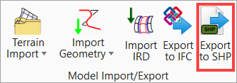
Export to SHP
ESRI SHP files are Shapefiles that contain geographical information like street points, lines, and so on. It stores the geometric location and attributes information of geographic features.
You can access this tool from the following:
Ribbon: OpenRoads Modeling > Terrain > Model Import/Export > Export to SHP
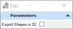
OpenRoads Designer can export geometry features and survey features to *.shp files. It supports points, polylines, and polygons in both 2D and 3D. It strokes the arcs, spirals, 3D profiles, and so on and it splits the export into multiple files if different geometry types are selected (name_points.shp, name_polylines.shp, name_polygons.shp; *.shp files only support a single type of geometry per file).
Press Export to SHP and select the elements to export, reset (right click) to finish.